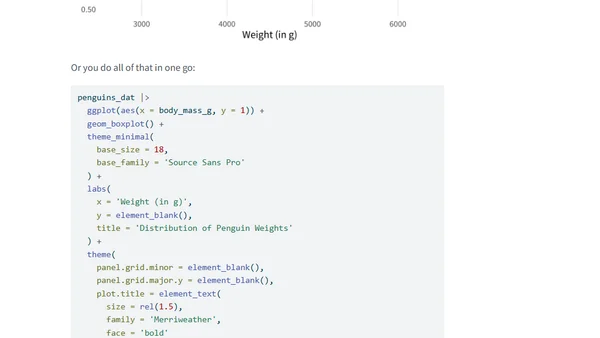
Why you shouldn’t use boxplots
Explains a crucial flaw in using boxplots for data visualization and suggests better alternatives.
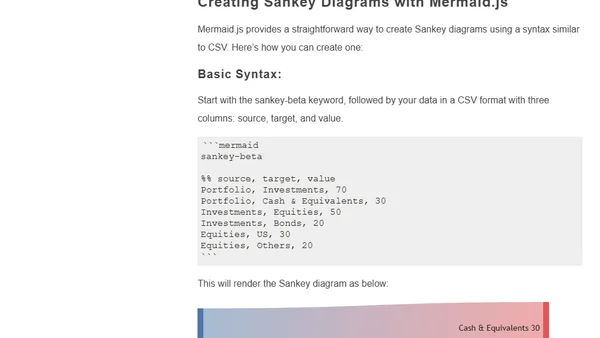
A guide to creating Sankey diagrams for data visualization using Mermaid.js, including basic syntax and examples.
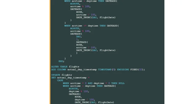
HeavyIQ is an AI-powered English-to-SQL interface from HEAVY.AI, using a fine-tuned LLM to query and visualize massive datasets like flight records.
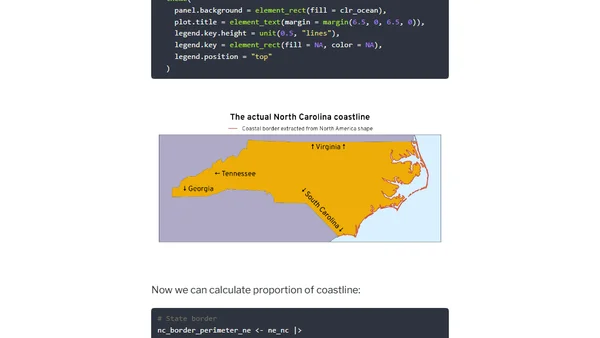
Using R and geospatial data to calculate and compare the proportion of coastline to land borders for US states, with Rhode Island as a key example.
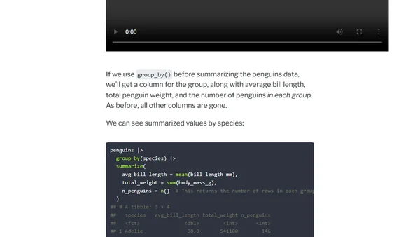
A tutorial using custom animations to visually explain how dplyr's mutate(), summarize(), group_by(), and ungroup() functions work in R.
A data visualization expert details their participation in the #30DayChartChallenge, using DataWrapper to create interactive charts based on 'The Simpsons' data.
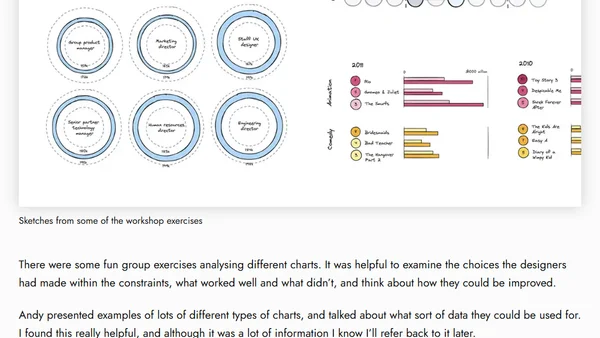
A review of an online data visualization fundamentals workshop led by expert Andy Kirk, covering analysis, chart selection, and practical exercises.
A developer discusses designing an inclusive SaaS dashboard, focusing on color blindness accessibility and user experience principles.
Explores the technical process of parsing and rendering Counter-Strike 2 gameplay demos in a web browser using JavaScript and pre-processed data.
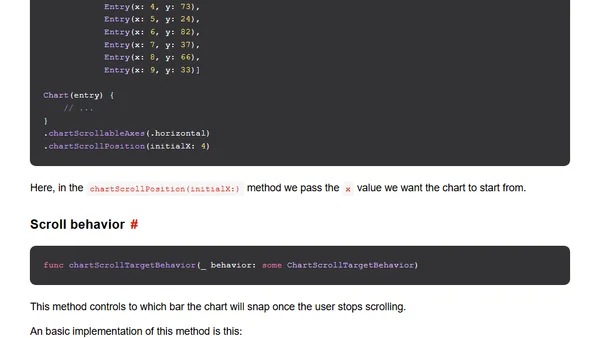
Learn how to create scrollable charts using the new SwiftUI Charts APIs introduced in iOS 17 and Xcode 15.
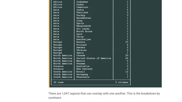
A technical guide to downloading, processing, and visualizing global geospatial datasets from the public domain Natural Earth project using tools like AWS S3, DuckDB, and QGIS.
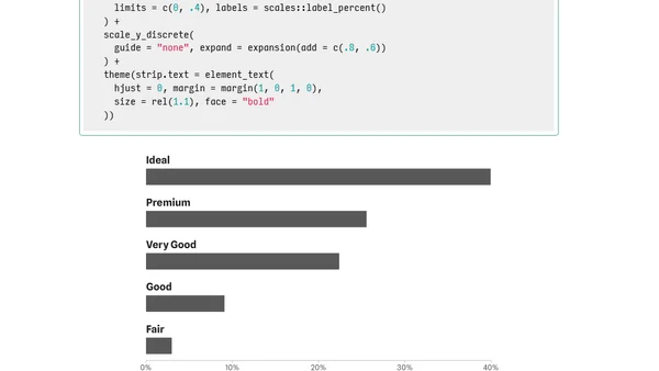
A tutorial on customizing bar chart labels in ggplot2, focusing on placing category labels above bars and styling visualizations.
A technical analysis of UK rainfall data, covering data scraping, visualization, and processing using Python and APIs.
Interview with Gabi Steele, co-founder of Preql, discussing data visualization, building data culture, and the future of data transformation tools.
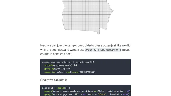
A tutorial on fixing overplotted points on maps by creating filled density gradients using R, ggplot2, and the sf package for geographic data.
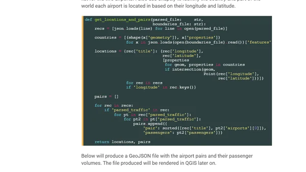
A technical walkthrough of scraping and visualizing global airline passenger route data using Python, DuckDB, and QGIS.
Using Azure Data Explorer's geo_info_from_ip_address function to locate a hacker by mapping IP addresses on a scatter plot map.
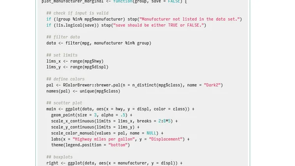
A tutorial on automating the creation of consistent ggplot2 graphics for different data subsets using the purrr package in R.
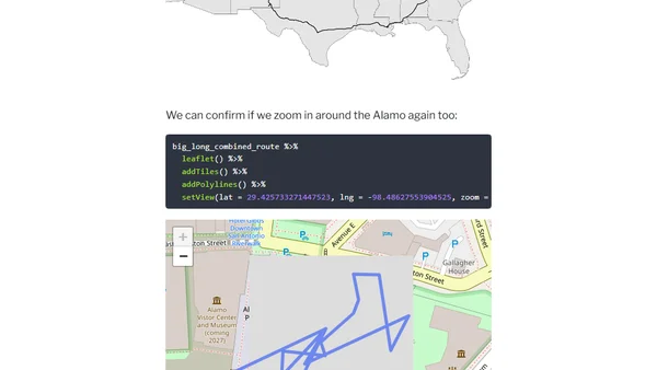
A technical tutorial on using R to analyze and visualize personal Google Location History data, using a 5,000-mile road trip as a case study.
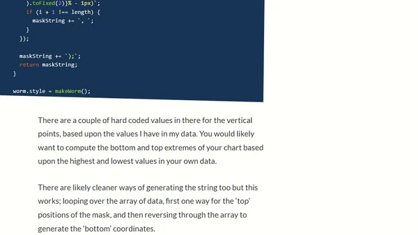
A tutorial on creating a simple line graph using CSS clip-path and clip-mask techniques, avoiding heavy charting libraries.