12/31/2020
•
EN
2020 in Review
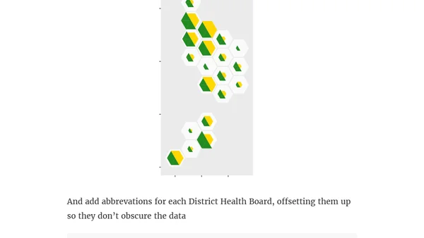
A personal review of 2020 focusing on the growth of the #TidyTuesday data visualization project in the R community, with code and analysis.