5/22/2025
•
EN
Esri's ArcGIS Pro 3.5
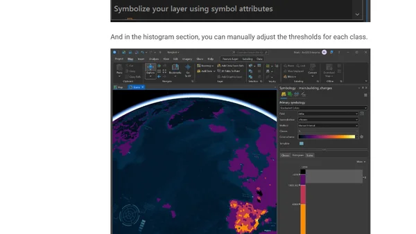
Overview of new features and technical specifications in Esri's ArcGIS Pro 3.5, including Python updates, Parquet support, and system requirements.