11/25/2024
•
EN
Language Translation with Python
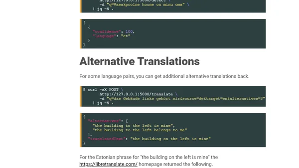
A guide to using LibreTranslate, a Python-based API server for language translation and detection, including setup and performance considerations.