Revisiting Overture's Global Geospatial Datasets
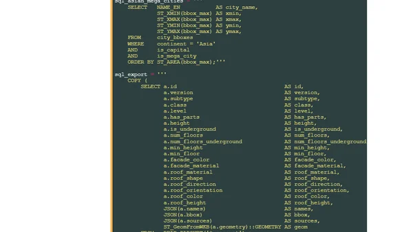
Read OriginalThis article revisits the Overture Maps Foundation's monthly releases of open global geospatial data, covering building footprints, roads, addresses, and AI-generated land use. It details the evolution from large Protocol Buffer files to spatially sorted Parquet files and a new serverless web Explorer app using PM Tiles. The author also describes their high-performance workstation setup and prerequisites for analyzing the datasets with Python.
Comments
No comments yet
Be the first to share your thoughts!
Browser Extension
Get instant access to AllDevBlogs from your browser
Top of the Week
1
Limit token usage in Microsoft Agent Framework
Jesse Liberty
•
1 votes
2
How to Roll Back AI Agents: Incident Response, Circuit Breakers, and Recovery Patterns
Paul Bryant
•
1 votes
3
Avoiding Reasoning Model Failures with Microsoft Foundry
Luke Murray
•
1 votes
4
When Your AI Agent Lies: Silent LLM Fallbacks
Luke Murray
•
1 votes
5
Adding a custom MCP server to Claude and ChatGPT
Simon Willison
•
1 votes
6
Testing AI prompts and comparing models with promptfoo
Tim Deschryver
•
1 votes
7
Superlogical
Mitchell Hashimoto
•
1 votes