DuckDB's Spatial Extension
A technical overview of DuckDB's new Spatial extension, detailing its geospatial file format support, core dependencies, and setup process.
Mark Litwintschik is a Big Data, AI, GIS, and networking consultant with international experience, helping clients across the UK, USA, Europe, and beyond. He specializes in large-scale data analysis, geospatial insights, and technology consulting for major corporations and organizations.
111 articles from this blog
A technical overview of DuckDB's new Spatial extension, detailing its geospatial file format support, core dependencies, and setup process.
Exploring DuckDB's geospatial extensions and features for optimizing a large-scale fiber-optic network data pipeline.
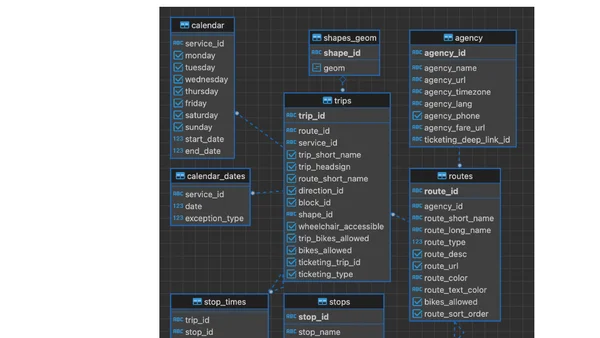
A technical guide on importing and visualizing FlixBus's European GTFS transit data in PostgreSQL using pgRouting for route planning.
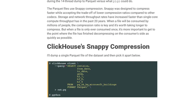
A technical guide on using ClickHouse to export PostgreSQL data to Parquet format for faster loading into Google BigQuery.
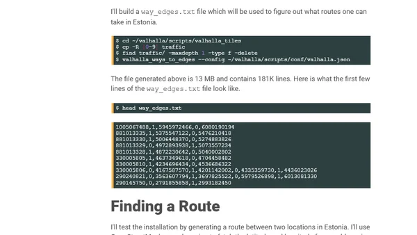
A technical tutorial on setting up the Valhalla routing engine to generate isochrone maps using OpenStreetMap data and QGIS.
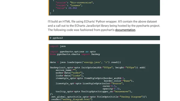
A guide to using the Python wrapper for Apache ECharts to create and render interactive charts as static images.
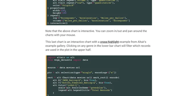
A guide to using Python's Altair library for data visualization, comparing it to tools like Tableau, and showing setup and examples.
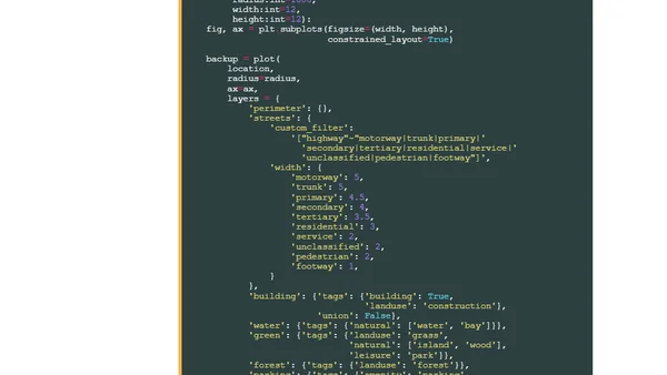
A tutorial on generating stylized maps in Python using the prettymaps library, OpenStreetMap data, and vsketch for rendering.
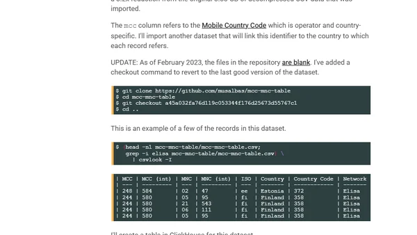
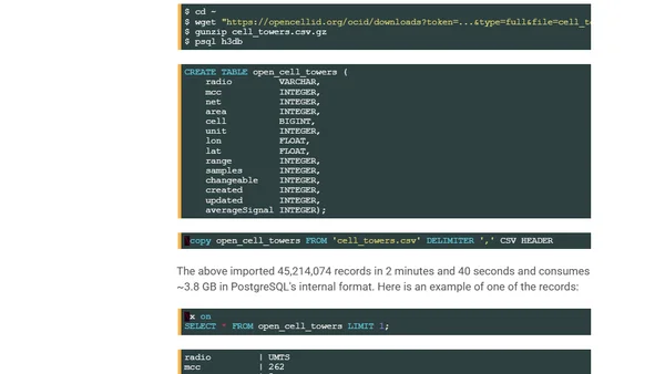
A technical tutorial on creating geographic heatmaps using Python, ClickHouse, QGIS, and Uber's H3 library with OpenCelliD cell tower data.
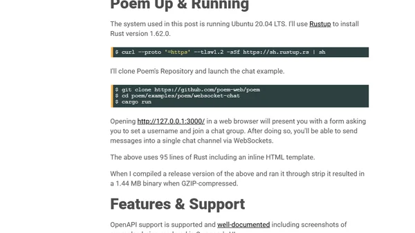
An overview and technical exploration of Poem, a feature-rich, Rust-based web framework, covering its setup, features, and examples.
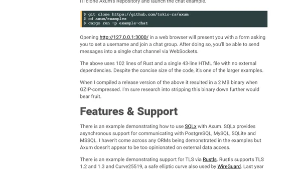
A guide exploring the Axum web framework for Rust, covering its features, setup, and examples like a chat app.
A technical guide on setting up a secure, cost-effective file sharing system using Caddy Server and MinIO, including installation and configuration steps.
A technical guide on using geospatial data and cloud computing to optimize 5G network deployment, considering environmental factors like trees.
A technical guide on extracting Monaco's road network from OpenStreetMap, importing it into PostgreSQL/PostGIS, and rendering it with a tile server.
A guide to quickly install ClickHouse on macOS using a one-line shell command and demonstrates its use for converting CSV data to Parquet.
A technical benchmark comparing PostgreSQL, ClickHouse, and BigQuery for fast geospatial coordinate conversion using Uber's H3 hexagon system.
Explains how IPinfo's probe network maps the physical location and metadata of nearly every IPv4 address, detailing its uses and origins.
A developer compares performance of a Rust-based TLD extraction script rewritten in Go, analyzing processing times on a large reverse DNS dataset.
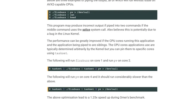
An analysis of the world's fastest FizzBuzz implementation, written in Assembler and optimized for AVX2, achieving 56 GB/s output.
ROAPI is an open-source API server built in Rust that automatically creates REST APIs from static data files like CSV, JSON, and Parquet.