GeoPAT 2: Software for Pattern-Based Spatial and Temporal Analysis
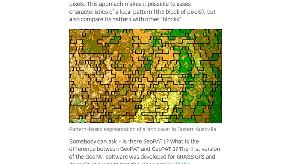
Introduces GeoPAT 2, an open-source software for pattern-based spatial and temporal analysis of categorical maps like land cover.
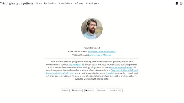
Jakub Nowosad is a computational geographer and Associate Professor at Adam Mickiewicz University, also serving as a Visiting Scientist at the University of Münster. He develops open-source tools and spatial methods for reproducible, scalable environmental and ecological analysis, and co-authors Geocomputation with R and Geocomputation with Python.
45 articles from this blog
Introduces GeoPAT 2, an open-source software for pattern-based spatial and temporal analysis of categorical maps like land cover.
A technical tutorial on creating US maps with R, including Alaska and Hawaii as properly scaled insets using the sf and tmap packages.
An update on the 'Geocomputation with R' book, covering progress on chapters about spatial data, analysis, and future plans for advanced methods.
Announcing the open-source book 'Geocomputation with R', covering spatial data analysis using R and the sf package.
A summary of a two-day workshop introducing R programming, data processing, visualization, and spatial analysis for beginners in geography and GIS.