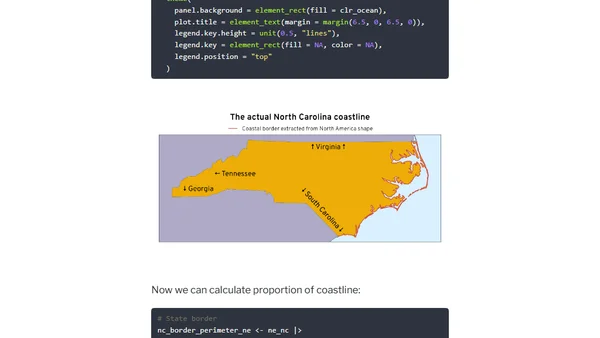
Calculating the proportion of US state borders that are coastlines
Read OriginalThis technical blog post details a data analysis project using R and the {sf} package to calculate what percentage of each US state's border is coastline. It explores the complexities of geospatial measurement, addresses the coastline paradox, and compares results across states, with a focus on Rhode Island's high coastline proportion. The article includes code, maps, and methodological discussion.
0 comments
Comments
No comments yet
Be the first to share your thoughts!
Browser Extension
Get instant access to AllDevBlogs from your browser
Top of the Week
No top articles yet