Pattern-based regionalization
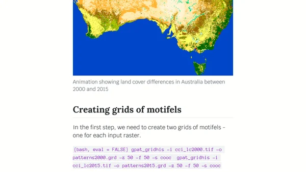
Explains pattern-based regionalization using GeoPAT 2 software to segment landscapes into homogeneous regions based on spatial patterns.
Explains how to use GeoPAT 2 software to measure changes in landscape patterns over time using spatial analysis techniques.
A technical tutorial on using GeoPAT 2 software to find geographically similar landscapes through pattern-based spatial analysis.
Explains the core concepts of pattern-based spatial analysis in GeoPAT 2, including motifels, signatures, and similarity metrics.