

Little useless-useful R functions – Honest geographical location signposts
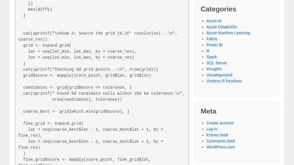
Read OriginalThis article presents a set of R functions that analyze geographical signposts, which display distances to various cities. The code geocodes city names using OpenStreetMap's Nominatim API, then uses trilateration to find the possible signpost location by intersecting circles of given distances. It includes functions for geocoding, searching a bounding box, and refining results with tolerance levels. The tutorial is practical for R users interested in geospatial analysis, API usage, and solving location-based puzzles.
0 comments
Comments
No comments yet
Be the first to share your thoughts!
Browser Extension
Get instant access to AllDevBlogs from your browser
Top of the Week
No top articles yet