SVG Word map of countries
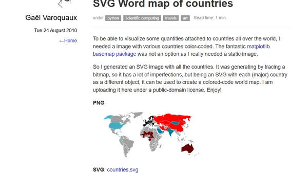
Read OriginalThe article explains the creation of a public-domain SVG world map, where each major country is a separate object, allowing for color-coding to visualize data per country. It was generated as a static image alternative to matplotlib's basemap tool, though it has imperfections from bitmap tracing. The resource is provided for developers needing a customizable, vector-based map for data visualization projects.
Comments
No comments yet
Be the first to share your thoughts!
Browser Extension
Get instant access to AllDevBlogs from your browser
Top of the Week
No top articles yet