

Open Source Aviation Maps
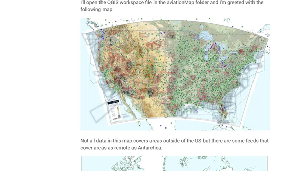
Read OriginalThis article explores open source aviation maps created from FAA's National Airspace System Resource (NASR) data. It details two GitHub repositories by Jesse McGraw that convert FAA feeds into SQLite3 databases for rendering in QGIS. The author describes their high-end workstation setup, installation of prerequisites like Python, DuckDB, and QGIS, and provides a technical walkthrough of the ETL process. The post is focused on IT/technology topics including programming, data processing, and geospatial mapping tools.
Comments
No comments yet
Be the first to share your thoughts!
Browser Extension
Get instant access to AllDevBlogs from your browser
Top of the Week
No top articles yet